Advertisement
Can You Believe it? Google Street View’s New Underwater Images!

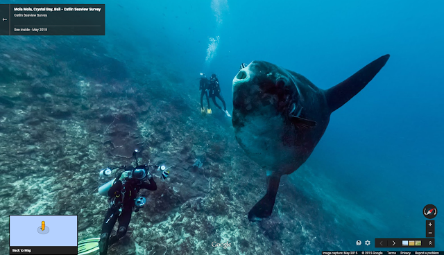
Google never ceases to amaze us, in 2012 Google released its first underwater panoramic images to Google Maps. This past Monday Google unveiled its latest improvements to Google Maps in honor of World Oceans Day.
Google released 40 underwater images ahead of World Oceans Day

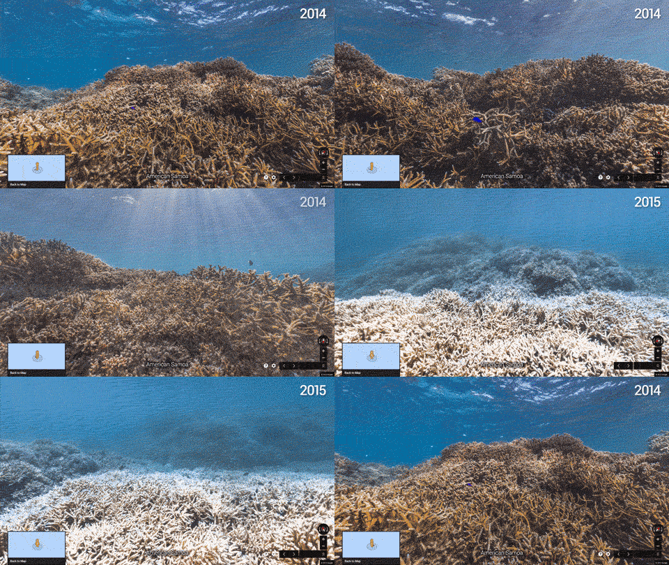
The New Street Views allow people to explore; as well as see how the Ocean may have changed for the better (or worse) over the course of the last year. As Google highlights in its post,
“That Water is covering more than 70 percent of the Earth’s surface, the ocean remains one of the most uncharted and undiscovered ecosystems on the planet. Home to the majority of life on Earth, the ocean acts as its life support system, controlling everything from our weather and rainfall to the oxygen we breathe. Yet despite the ocean’s vital importance, the ocean is changing at a rapid rate due to climate change, pollution, and overfishing, making it one of the most serious environmental issues we face today.”
“Each image in Google Maps is a GPS-located digital record of these underwater and coastal environments, which can be used as a baseline to monitor change over time,” the post states. “This comprehensive record of coral reefs showcases the beauty of these ecosystems and highlights the threats they face, such as the impact of increasing storms in the Great Barrier Reef and of rising water temperatures, factors causing the reefs to bleach white.” This is a truly remarkable improvement to Google Maps and hopefully the continued efforts with XL Catlin Seaview Survey group will soon add more reefs and underwater treasures.


